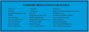
Local high school students got to check out the many career options available to them in the GIS field during the 18 annual GIS Day of the Coastal Bend on Nov. 16. Called “Map Your Career with GIS,” the event was co-hosted by Del Mar College at the Center for Economic Development.
“You can go into so many fields and occupations and use geospatial technology, so really it’s becoming greater and more important in everybody’s realm,” said John Nelson, GIS instructor. “Whether you’re in business, natural science, physical science or social sciences, you can be in anthropology or surveying, engineering or geology or what have you. They all use GIS, so it’s the technology used in so many different capacities.”
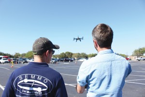
Pratt how to fly an Unmanned Aerial System during GIS Day. (Photos by Michelle Mirelez/Foghorn)
The event featured both indoor and outdoor activities for students, instructors and professionals. Unmanned Aircraft Systems, sometimes called drones, are heavily relied on in the industry and were everywhere to be found.
Martin Instrument, a surveying company, discussed what kind of technological advances their drones provide and what the drones allows them to do in the field.
“The technology has come a long way from carrying backpacks and only being able to use five satellites to 15 satellites at a time. Everything is more compact, portable and Bluetooth capable,” said Dan Riccardi with Martin Instrument.
DMC and Texas A&M University-Corpus Christi students gave a drone demonstration outside the building. Bradley Koskowich, a GIS student at A&M-CC, discussed with onlookers the joint venture in which DMC and A&M-CC are breaking ground in writing the text and instructional material that will define the UAS course.


