
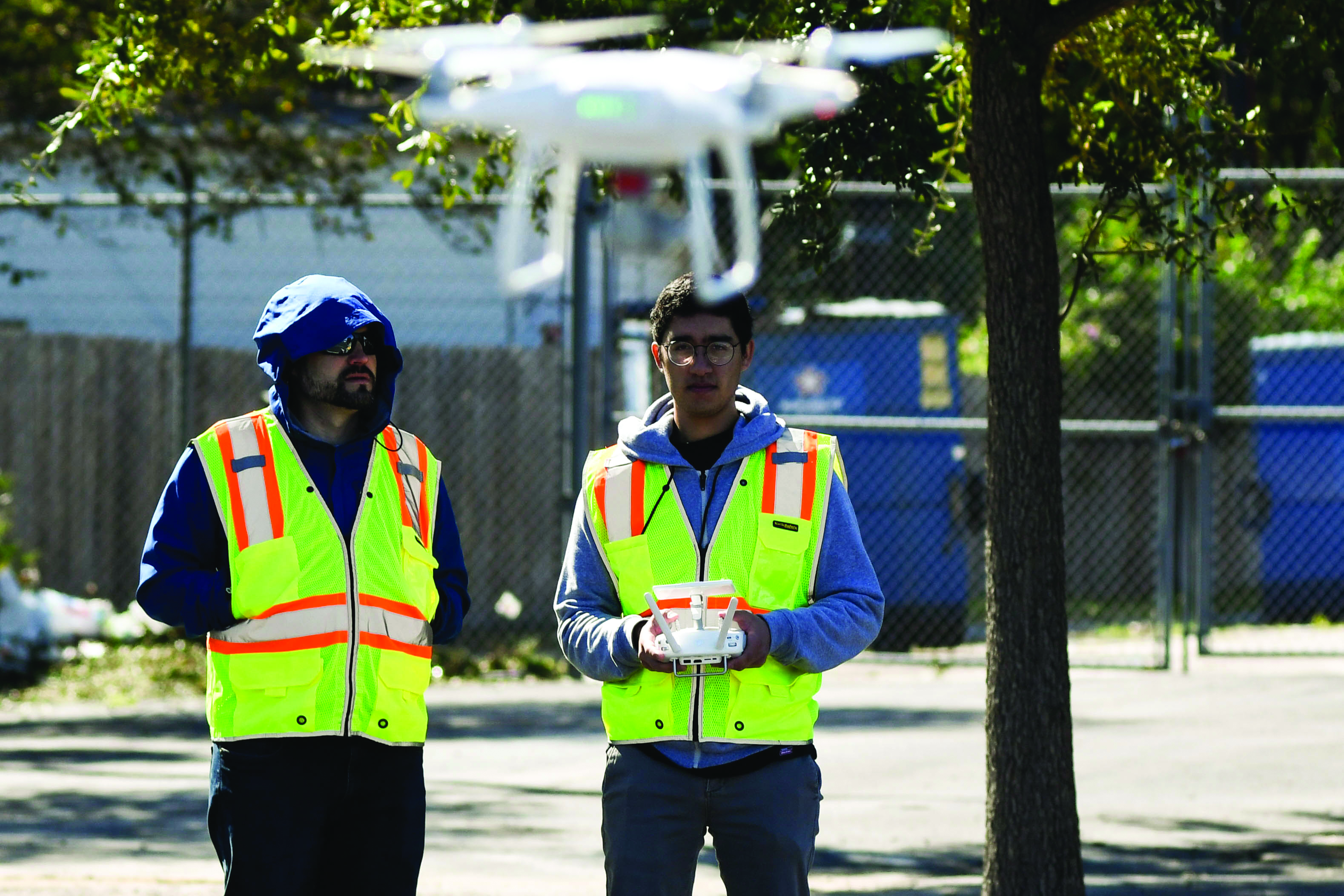
GIS Day looks at technology, its use in multiple fields
Students and members from the community participated in the 20th annual Coastal Bend GIS Day at the Center for Economic Development. GIS has to do with mapping and the geomatics portion of it is land surveying, or as instructor John Nelson, explains “it’s a science of where.”
Geospatial technology is like a big umbrella and GIS is a part of geographic information system, an application used in many fields from archaeology, anthropology, geology, surveying, construction trades and others such as emergency management.
“The goal is to inform students, faculty and members from the community about the education course for high school and middle school students that is available as well as a professional track. We also have a professional track for subject matter experts across all the different fields,” Nelson said.
Among the many opportunities that come with technology it is also important to keep in mind the responsibility that comes along with it while applying their professional ethics.
”It’s important that people take the responsible role of not only knowing about technology to protect themselves but also knowing enough about technology too so that they can protect others,” Nelson said.
It is important for students to research with the available dual credit course in addition to economic opportunities in the near future.
“That (new Harbor) Bridge is going to go up and and it’s going to be … one of the busiest harbors in the United States if not the world and it’s going to happen whether people are ready or not and if they are going to ride that income wagon and get a great job and a great income, that’s what I want people to take away and geospatial is a great way to do it with,” Nelson said.