

Students as young as middle schoolers mapped their careers at Coastal Bend GIS Day.
Sixth- through 12th-graders gathered at the Del Mar College Center for Economic Development on Nov. 13 for the 21st annual event.
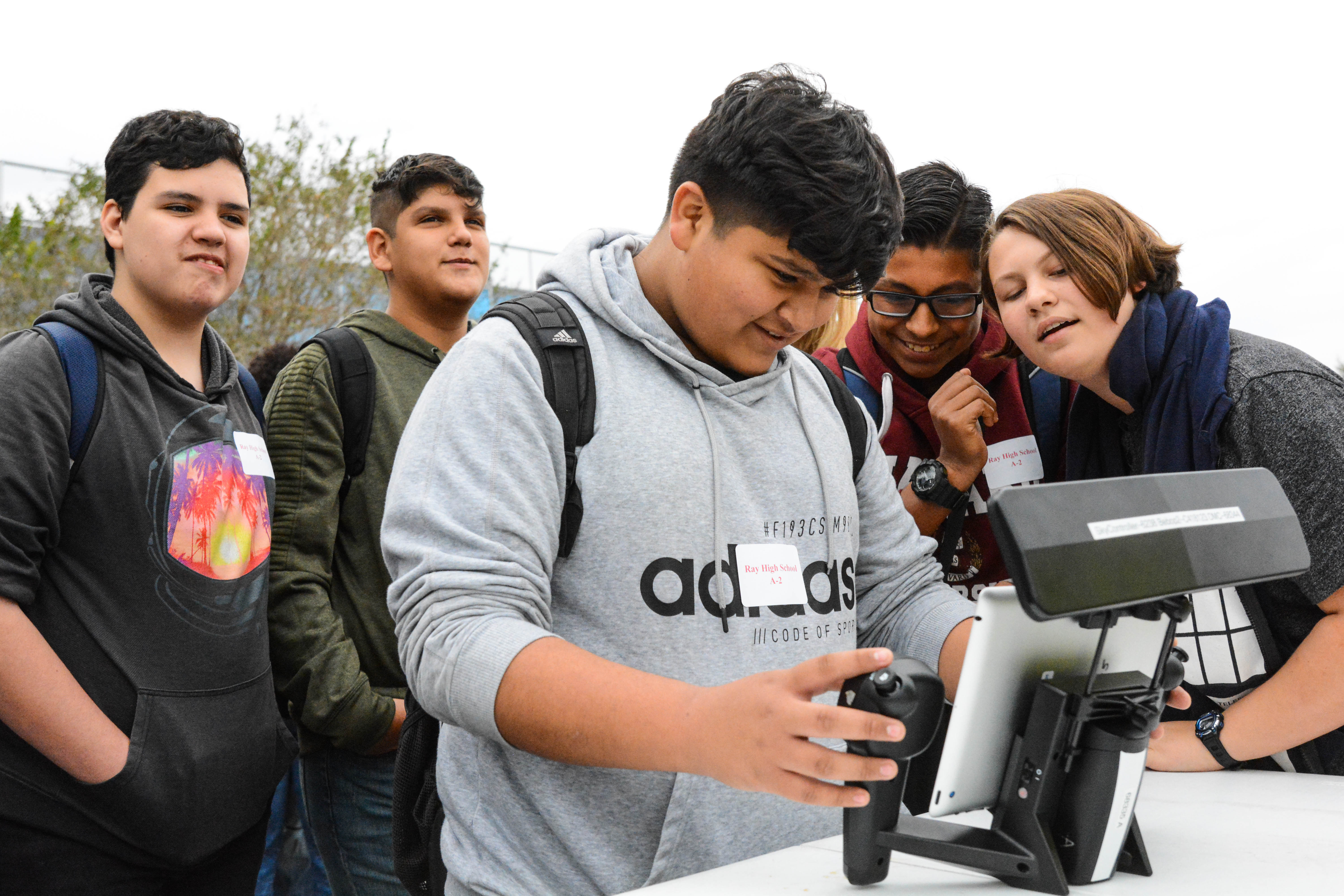
The event gave participants the opportunity to discover the world of GIS technology.
Geographic Information Systems, or GIS, is a technological field that incorporates geographical features with data to map, analyze and assess real-world problems.
The event featured GIS surveying and information booths, seminars and presentations to show participants what the technology has to offer.
“GIS has grown and gotten bigger and bigger every year. GIS technology is used in every capacity of everyone’s life,” said J.J. Nelson, a GIS instructor at Del Mar College.
GIS is used when photos are geo-tagged, to create effective farming techniques, to monitor areas prone to natural disasters, and helps people get place to place with the use of maps.
GIS Day featured two tracks, Education and Professional.
“We have increased our Professional Track of seminars and workshops for the professionals that are coming in,” Nelson said.
The Education Track was designed to build awareness among middle school and high school students. The Professional Track was designed to provide professional development for individuals using GIS technology in their fields.
Students were able to see how GIS technology is used right in front of them. They got to see drones, surveying technology and a laser scanner. They were also able to talk to experts in the field to see what opportunities are available.
“I didn’t know GIS existed until now. It’s an intriguing work field,” said Joshua Hernandez, a junior at Moody High School. “I learned about all the different types of geographic technologies they have.”